Stereo Visualization and Flythrough for 3D Feature Extraction
by Shalin Shodhan, 8th CE, L.D. College of Engineering
Project Guide: K.V. Iyer (Scientist), Space Applications Center (SAC), Indian Space Research Organization (ISRO)
Due to the sensitive nature of the data used at ISRO no code or data is allowed to be used in public domain. Hence, for demonstration purposes i've concurrently developed Terrestria. It loads terrain by parsing obj files exported from the fractal based terrain generator in Bryce 4.0. Terrestria is a subset of a complete visualization system i'm developing at SAC.
Some of the main differences are as follows:
| Feature | Terrestria Demo | Original System at SAC |
| Stereo | Red-Blue Anaglyph | Quad Buffer |
| Data | Software Generated | Real world DEM data |
| Measurement Facilities and Interface | Limited | Extensive |
| Input Format | obj and raw | Custom DEM and raw,tiff |
| Multiple Images, Texture Transforms | No | Yes |
Downloads:
Terrestria Demo (350 Kb zipped)
OpenGL dlls for Windows (optional)Project Abstract, Concept Diagrams and Feature List (doc) (528 Kb zipped)
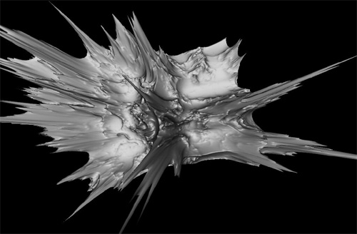
ScreenShots:
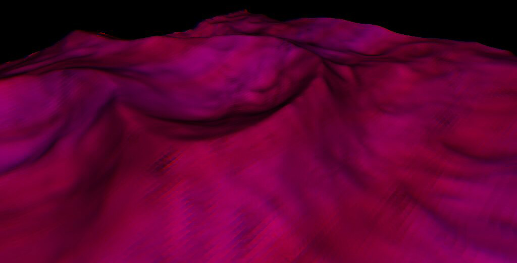
A Ridged terrain and its corresponding red-blue anaglyph (click for larger view)
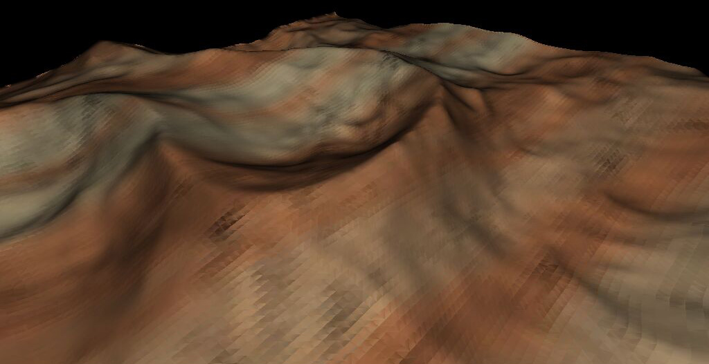
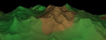
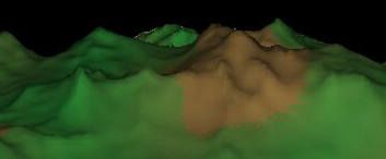
Two images showing quality difference upon using Averaged Vertex Normals
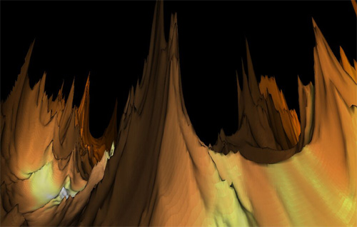
A Massive 1,90,962 polygon model I like to call "Mordor"